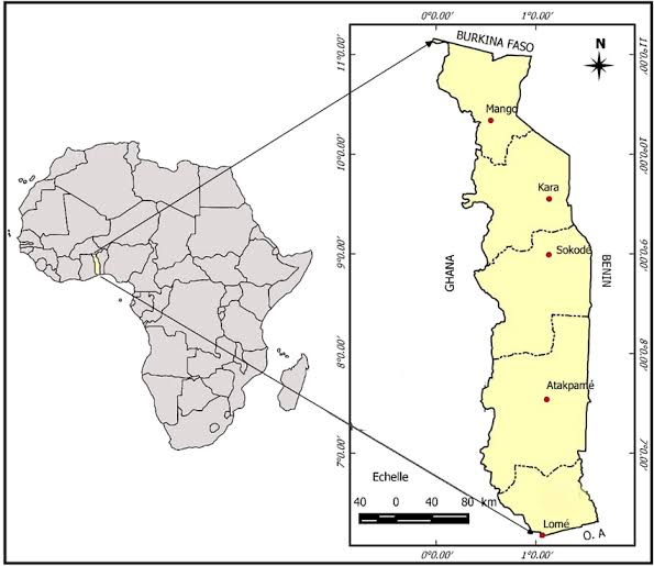
In Togo, the clarity and coordination of meteorological data production are improving. A recently validated document in Lomé outlines a detailed map of the stakeholders involved in the collection and dissemination of this vital information. This initiative is part of the efforts by the National Meteorological Agency (ANAMET), the designated technical authority on this matter.
In addition to ANAMET, various public entities in the country contribute to weather data production, including ASECNA, agricultural institutions like the Togolese Institute of Agronomic Research (ITRA), the Togolese Coordination of Peasant Organizations (CTOP), the Institute for Consulting and Technical Support (ICAT), and the maritime prefecture. The objective is to enhance coordination in data collection for improved forecasting.
Latifou Issaou, the agency’s director general, states, “The aim is to thoroughly identify all data producers.” This mapping will facilitate better organization of data collection, enhance the reliability of information, and ease its application, especially in the agricultural and maritime sectors.
This new tool is particularly relevant in a context where challenges related to climate change are emerging, with increasing pressures from floods and droughts.
This initiative was supported by the Food Systems Resilience Project (FSRP), funded by the World Bank.


